The First Century And A Half
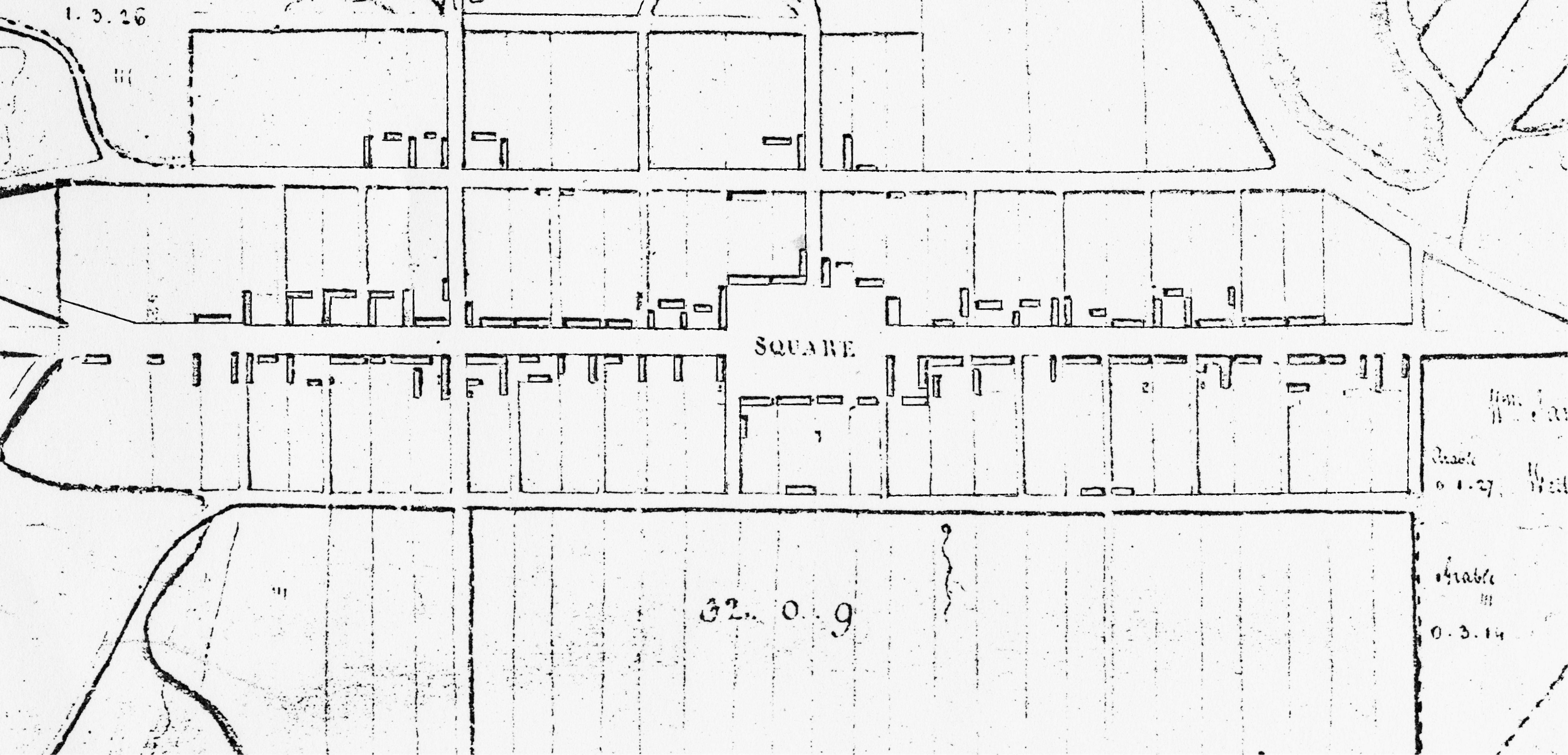
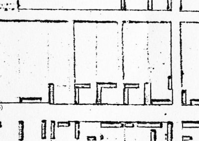
Aberchirder from the Plan for the Lands of Finnygaud etc & Town of Aberchirder 1799 (Montcoffer Papers). Reproduced by kind permission of the Special Collection Centre, Sir Duncan Rice Library, University of Aberdeen.
There was a fairly complete Main Street, with buildings on feus running north to Back Street (now North Street) and south to the Long Lane (now Southview Terrace). A few houses had been built on feus on the north side of Back Street, but there was no South Street, which only appeared when the Banff to Huntly turnpike road was completed in 1808, passing along the southern edge of the village – as the main road still does today – and the South Street feus were soon built on.
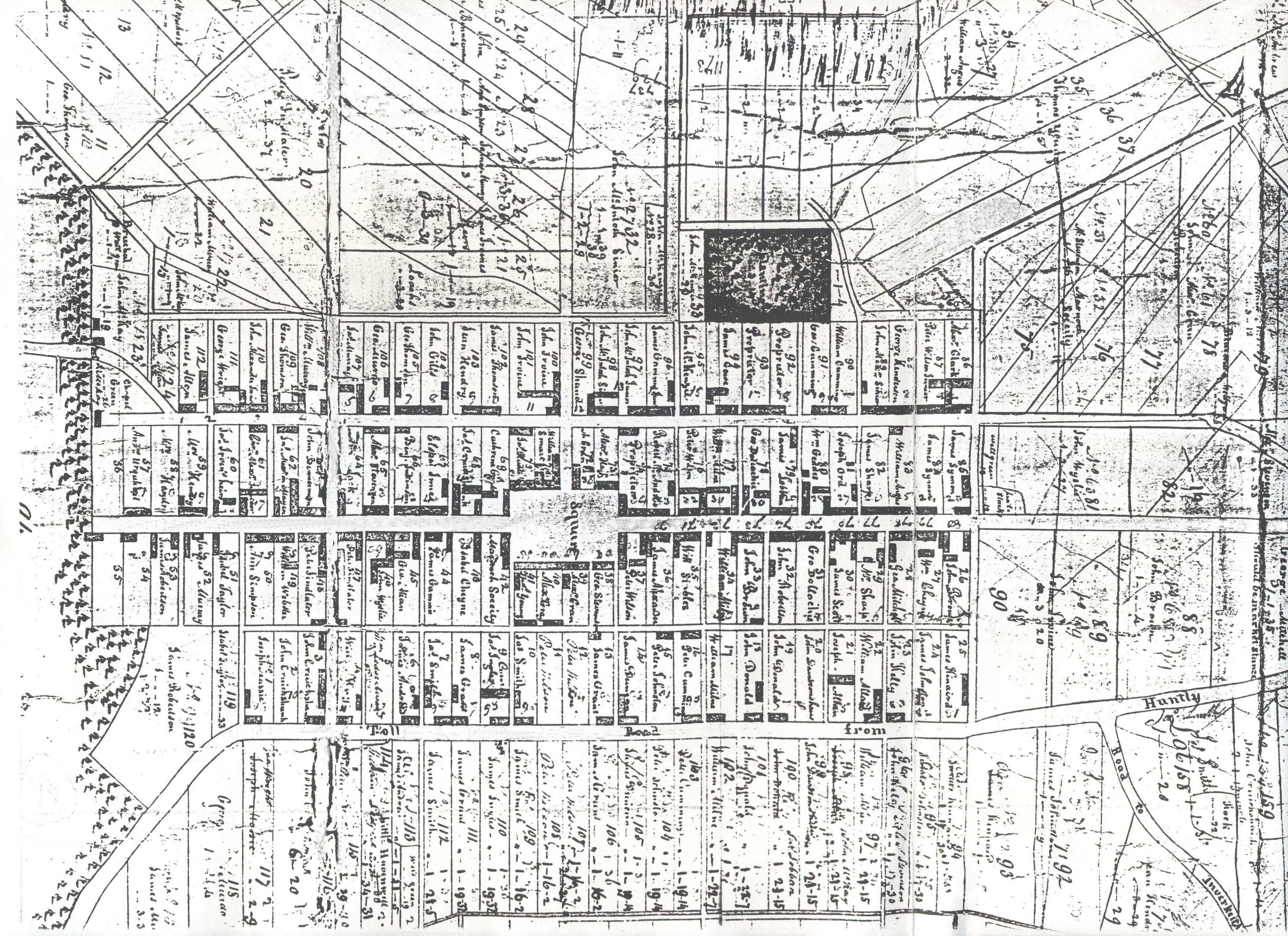
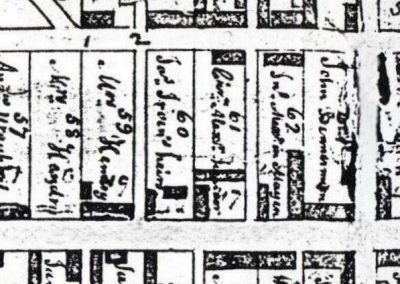
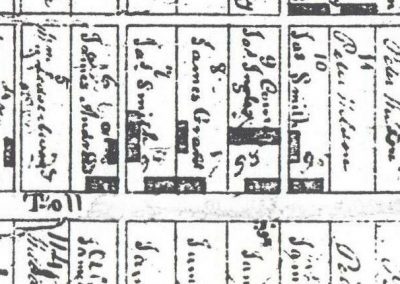
In 1823 a map was published showing the layout of the village, now referred to as Aberchirder rather than Foggieloan. It is possible that John Morison, the laird, felt this historic name with its connection with the Thanes of Aberkerdour would lend his village some cachet and help it (and rents) to grow more quickly.
Aberchirder from the Feuing Plan for the Village and Lands of Aberchirder 1823 (Montcoffer Papers). Reproduced by kind permission of the Special Collection Centre, Sir Duncan Rice Library, University of Aberdeen.
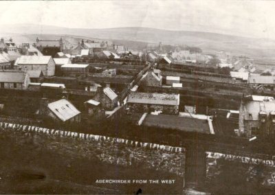
By 1864 the number of occupied feus had doubled, and buildings trebled, still almost all within the Back Street – Middle St – Front Street grid as originally laid out.
In that year the Huntly Express commented:
“The village of Aberchirder …did not make very rapid progress for a long time. In 1804…it contained 365 inhabitants, one for each day of the year, and only one slated house – that on the Square, now occupied as a hotel [the Fife Arms]…
The population of the village [was estimated in 1842] at 800. Aberchirder is now a compact and pretty neatly-built village, the three principal streets – with numerous lanes and minor thoroughfares – leading to a fine, capacious Square. The village now contains about 1400 inhabitants, and slated houses are now the rule and not the exception.”
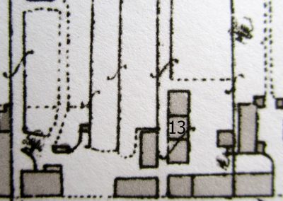
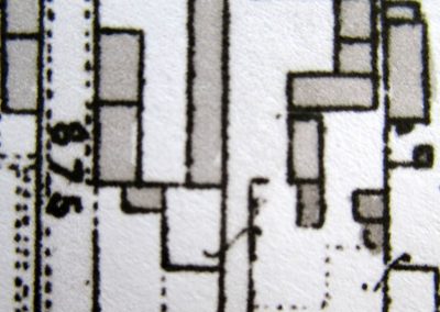
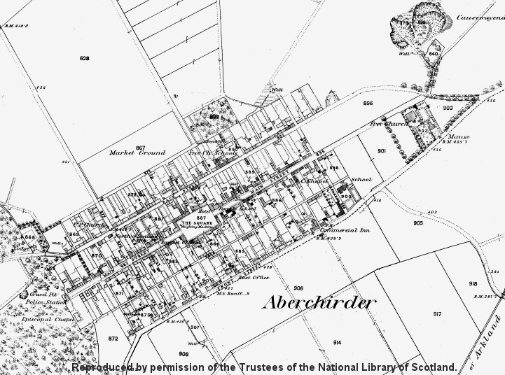
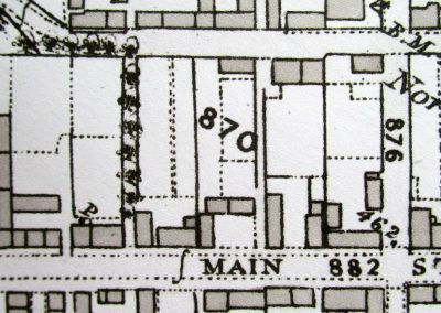
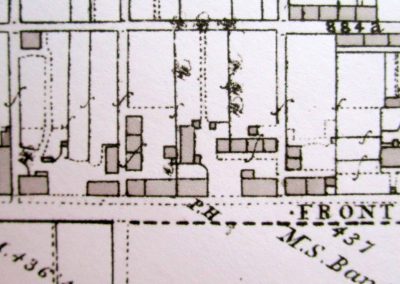
A comparison of the map of 1823 with the 1866 OS map shows how the village had developed:

